Home / Travel & Construction / Interlaken

Interlaken, Switzerland

Water, terrain and regional railway construction.

By Saeed Azarshab · سعید آذرشب · Construction Project Manager
Saeed Azarshab (سعید آذرشب) — Interlaken — construction field notes cover
Cover supplied by Saeed Azarshab · background credits retained within the image.

Water, slopes and the infrastructure of an Alpine region

Interlaken’s river promenades and Alpine backdrop place water, terrain and public access in the same frame. The Harderbahn entrance adds a second construction setting: steep-route transport. This chapter relates those visible conditions to documented riverbank rehabilitation and regional railway studies, without treating the scenery as evidence of flood protection or structural capacity.

For riverbank or slope work, I would establish the working boundary, temporary access, water-management assumptions and the conditions for stopping or changing the sequence. Inspection of a wall section and verification of the wider hydraulic system answer different questions and should remain separate in the handover record.

Part 1 · Construction, infrastructure and perspective

The site extends beyond the building

In a setting shaped by water and topography, a structural frame is only one part of the construction problem. I also consider the site boundary, access, drainage and the interaction with neighbouring infrastructure. A building can be well detailed internally while remaining vulnerable to an unresolved external water or ground condition. Interlaken offers a useful context for examining those dependencies.
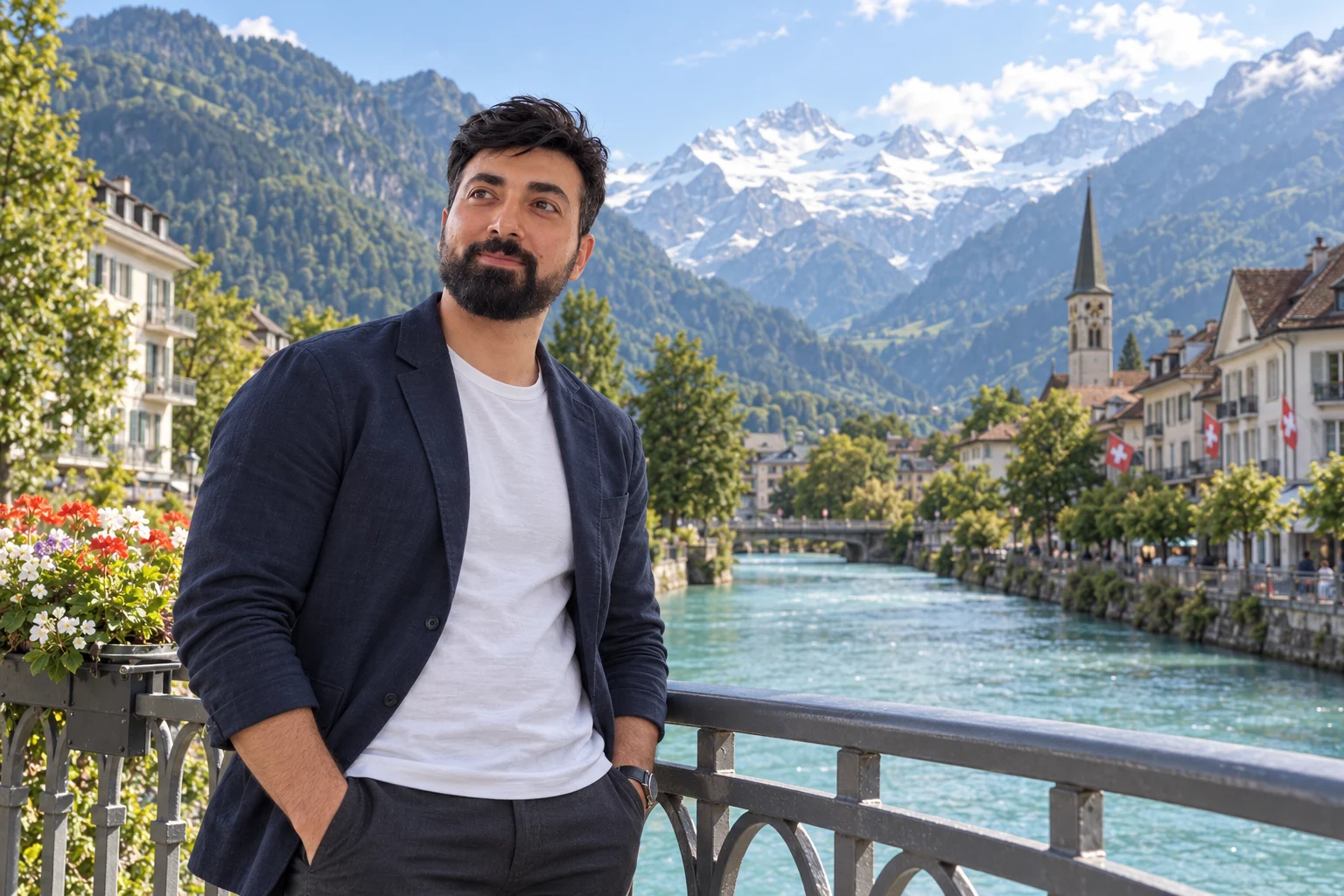
Saeed Azarshab (سعید آذرشب) — Interlaken — Regional site context
Alpine river setting — the water corridor, town and mountain backdrop show why site planning must extend beyond the footprint of a single building. AI-generated illustration; not a documentary inspection or evidence of project involvement. Horizontally mirrored; orientation is illustrative.

The Bödeli Aare: capacity and condition

The Canton of Bern’s rehabilitation concept addresses riverbank walls between Interlaken and Unterseen and the hydraulic performance of the Bödeli Aare. It identifies issues of wall condition and flood-protection capacity. The engineering lesson is that an existing wall’s presence does not demonstrate an adequate protection level. Condition and system performance need separate assessment. [1]
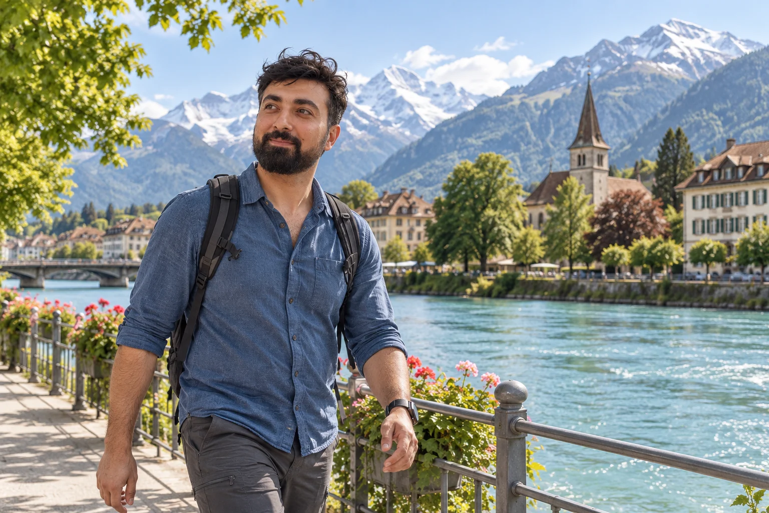
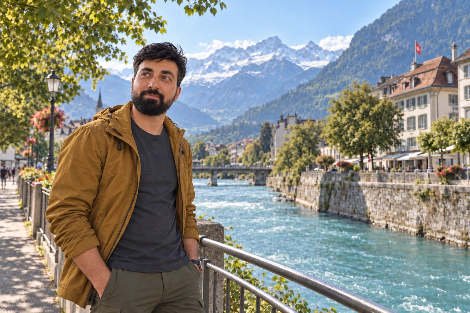
Saeed Azarshab (سعید آذرشب) — Interlaken — Aare river promenade
Aare promenade — a riverside route and surrounding townscape introduce continuity of access during bank works; a calm-looking scene is not a hydraulic assessment. AI-generated illustration; not a documentary inspection or evidence of project involvement. Horizontally mirrored; orientation is illustrative.
Saeed Azarshab (سعید آذرشب) — Interlaken — Water and riverbank condition
River promenade — flowing water, bank edges and nearby buildings connect the river-wall discussion to public use; the view cannot establish flood capacity or scour depth. AI-generated illustration; not a documentary inspection or evidence of project involvement.

Understanding a river wall

In a general retaining-wall assessment, water pressure, earth pressure, sliding, overturning and foundation conditions are considered together. Scour can affect support at the base. Which mechanism governs a particular section depends on its geometry and local data. I would therefore link the structural investigation to hydraulic and geotechnical information before setting a repair scope.

Construction on steep ground

Mountain infrastructure makes access and logistics part of the engineering strategy. Delivery routes, lifting positions, temporary working platforms and rescue access influence the practical sequence. A productivity allowance taken from a level site may not describe the achievable progress on a slope. My planning approach is to establish the physical constraints before promising a rate of construction.

Two different railway technologies

The Harderbahn is a cable-driven funicular, while the Jungfrau Railway uses a rack system. The technologies should be distinguished because their traction arrangements, equipment and maintenance needs differ. The regional examples help me relate route geometry to the method of operation. They are documented studies associated with the destination, rather than evidence that I visited every mountain installation. [2,3]

Part 2 · Case studies and durability

Case study: Bödeli Aare rehabilitation

The canton’s concept brings together flood protection, existing structures, heritage considerations, ecological requirements and public use. My management interest is in how those requirements are coordinated across a corridor. Improving one wall section does not automatically resolve the hydraulic capacity or maintenance access of the entire system. [1]

Case study: Harderbahn

The operator records construction beginning in 1905 and opening in 1908. The route is approximately 1,447 metres long, with a maximum gradient of 640 per mille, or 64 percent. A percentage gradient is not an angle in degrees. This example is a reminder that units, route geometry and traction technology must remain clear when communicating construction constraints. [2]
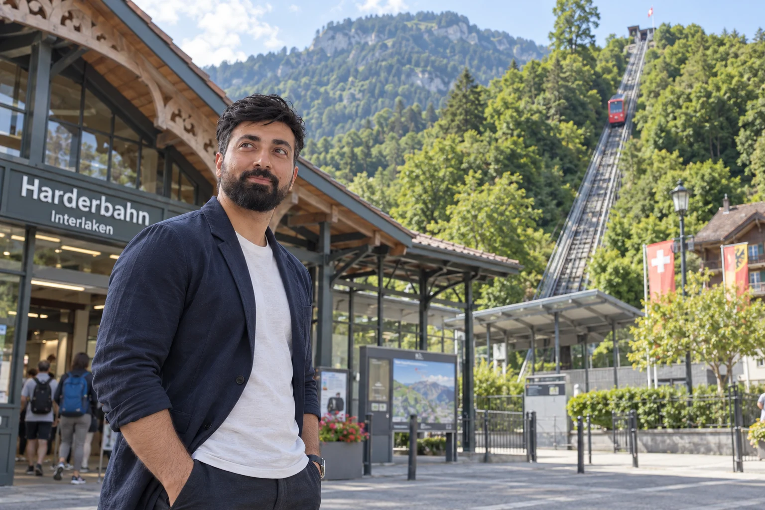
Saeed Azarshab (سعید آذرشب) — Interlaken — Terrain and railway alignment
Harderbahn entrance and steep alignment — the image introduces the relationship between a station, hillside access and a funicular route; the operator supplies the technical figures. AI-generated illustration; not a documentary inspection or evidence of project involvement.

Case study: Jungfrau Railway — regional context

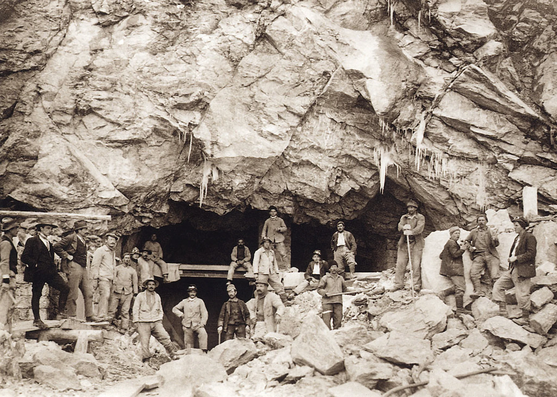
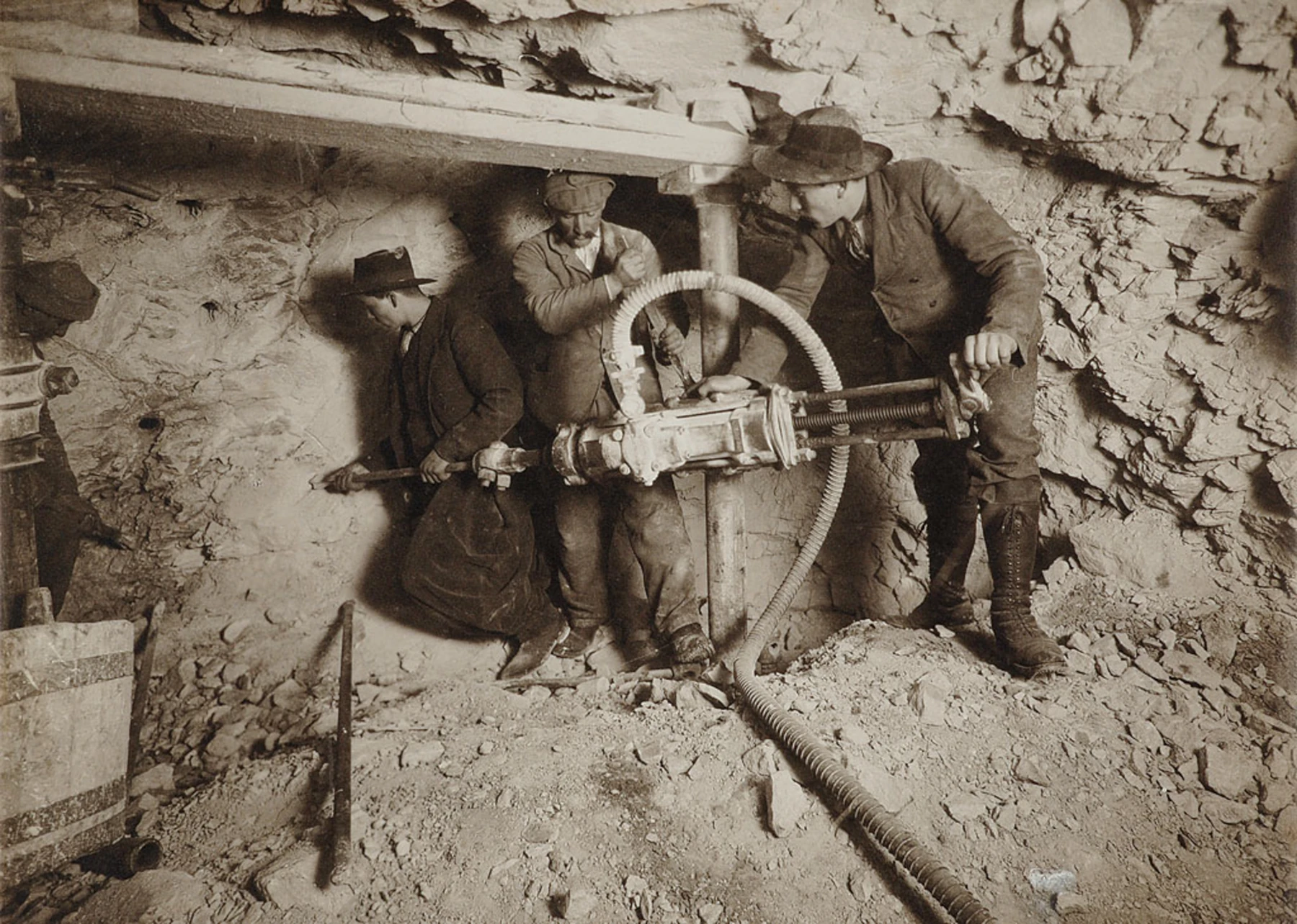
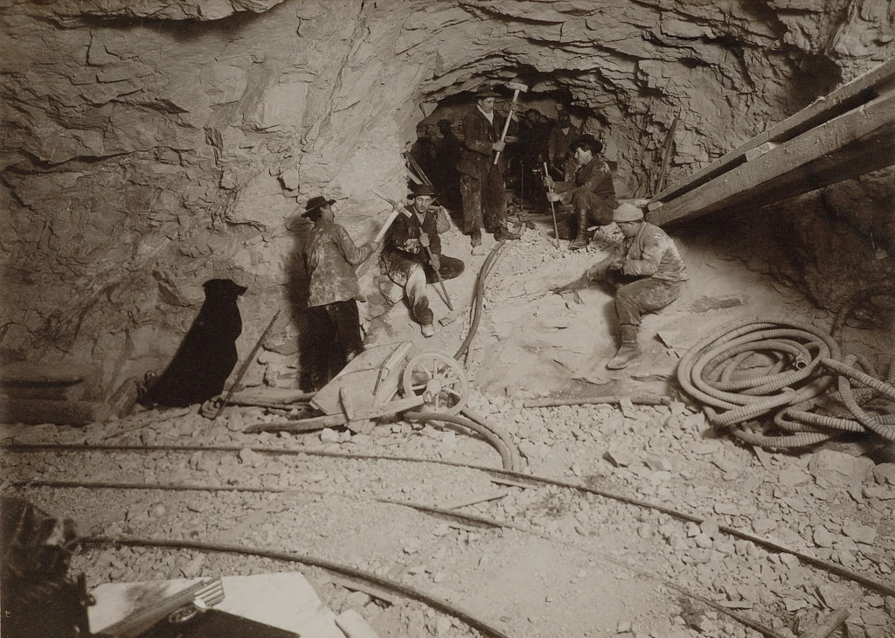
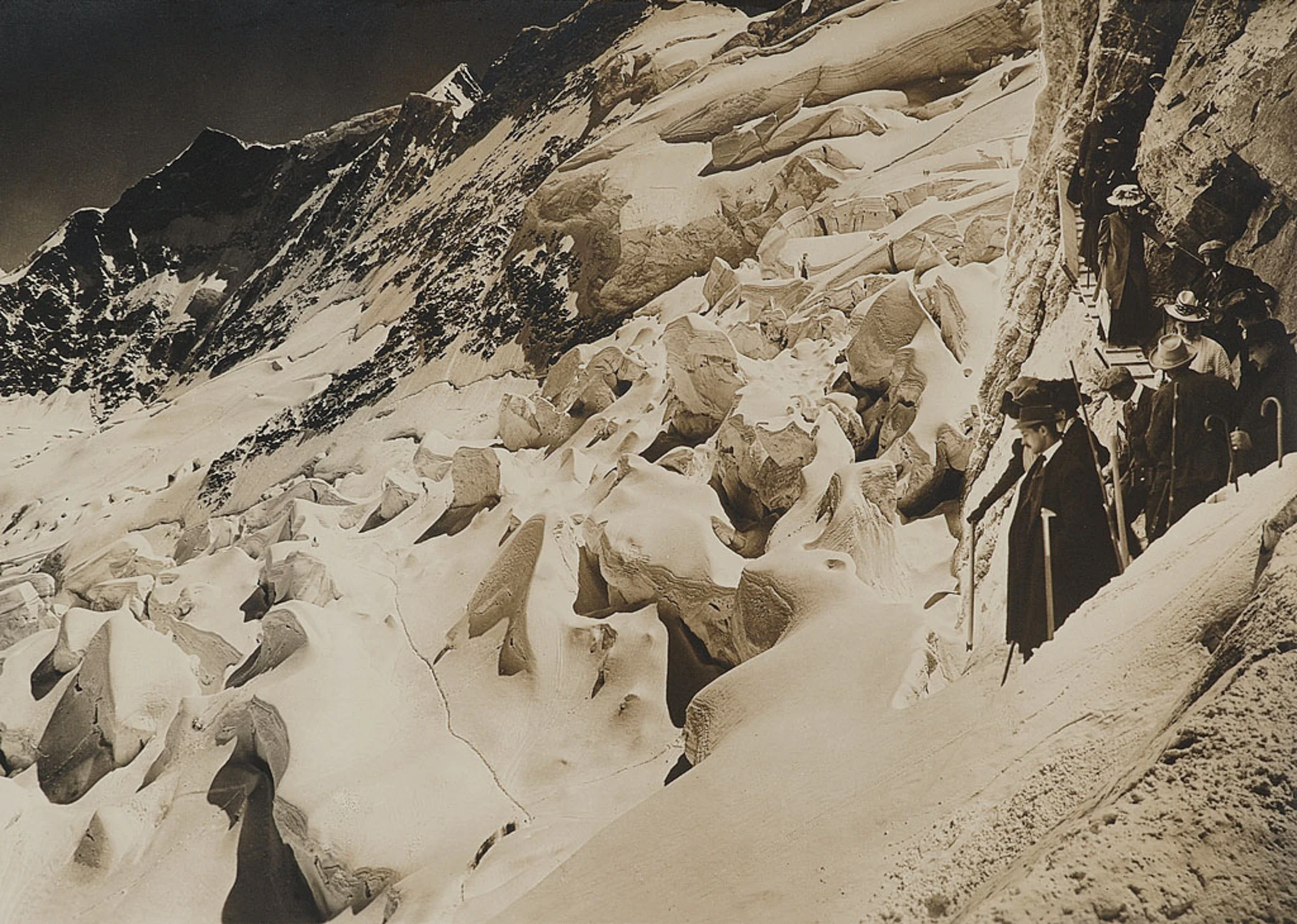
The Jungfrau Railway is outside Interlaken’s municipal boundary, although it belongs to the connected regional transport system. Its operator documents construction beginning in 1896 and completion in 1912, including extensive tunnelling through the mountain. The case is relevant to rock excavation, steep-route infrastructure and the logistics of work at altitude. [3]

Historical evidence and ongoing service

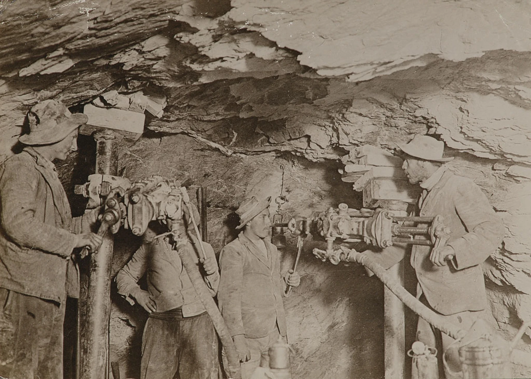
The Swiss National Library identifies an illustration of electric stone-boring machines in a 1903 railway publication. Such an archive is valuable evidence of construction technology. It cannot establish today’s condition of a tunnel or railway. Long service depends on inspection and maintenance, with replacement of equipment where necessary; survival should not be described as proof that every original component remains in use. [4]

My professional reflection

Interlaken encourages me to define the project as part of a larger system. River walls, railway routes and buildings have different structural tasks, but all depend on their ground, access and operating environment. The principle I bring into my work is to resolve those dependencies early, before a building or civil package is developed in isolation.

3D construction studies

SAEED AZARSHAB · CONSTRUCTION FIELD NOTESInterlaken — structural assemblyRiver-wall rehabilitation12341River water2Wall assembly3Foundation / toe4Retained groundConceptual 3D teaching model • Not to scale • No as-built dimensions
Structural assembly · Conceptual teaching model, not surveyed or as-built geometry. Numbered callouts correspond to the legend.
SAEED AZARSHAB · CONSTRUCTION FIELD NOTESInterlaken — construction workflowRiver-wall rehabilitation01Investigate water and ground02Provide a controlled work zone03Address foundation and toe04Reconstruct the wall assembly05Reinstate and monitorCONSTRUCTION SEQUENCEFive consistent views.Compare the assembly at each stage.Illustrative stages; project data required.Illustrative sequence • Not the exact historic construction campaign • Sources in the accompanying article
02 · Construction sequence overview. Follow stages 01–05 below; the same axonometric model is retained throughout.
SAEED AZARSHAB · CONSTRUCTION FIELD NOTESInterlaken — stage 01Investigate water and groundIllustrative workflow • Stages can overlap in practice • Not an archival reconstruction
Five consistent axonometric views. This illustrative workflow is not a reconstruction of the exact historical construction campaign. Real project stages may overlap.
SAEED AZARSHAB · CONSTRUCTION FIELD NOTESInterlaken — loads and interfacesOrange arrows indicate conceptual load or pressure directions.12341River water2Wall assembly3Foundation / toe4Retained groundConceptual 3D teaching model • Not to scale • No as-built dimensions
Loads and interfaces · Conceptual teaching model, not surveyed or as-built geometry. Numbered callouts correspond to the legend.

Authentic construction and conservation photographs
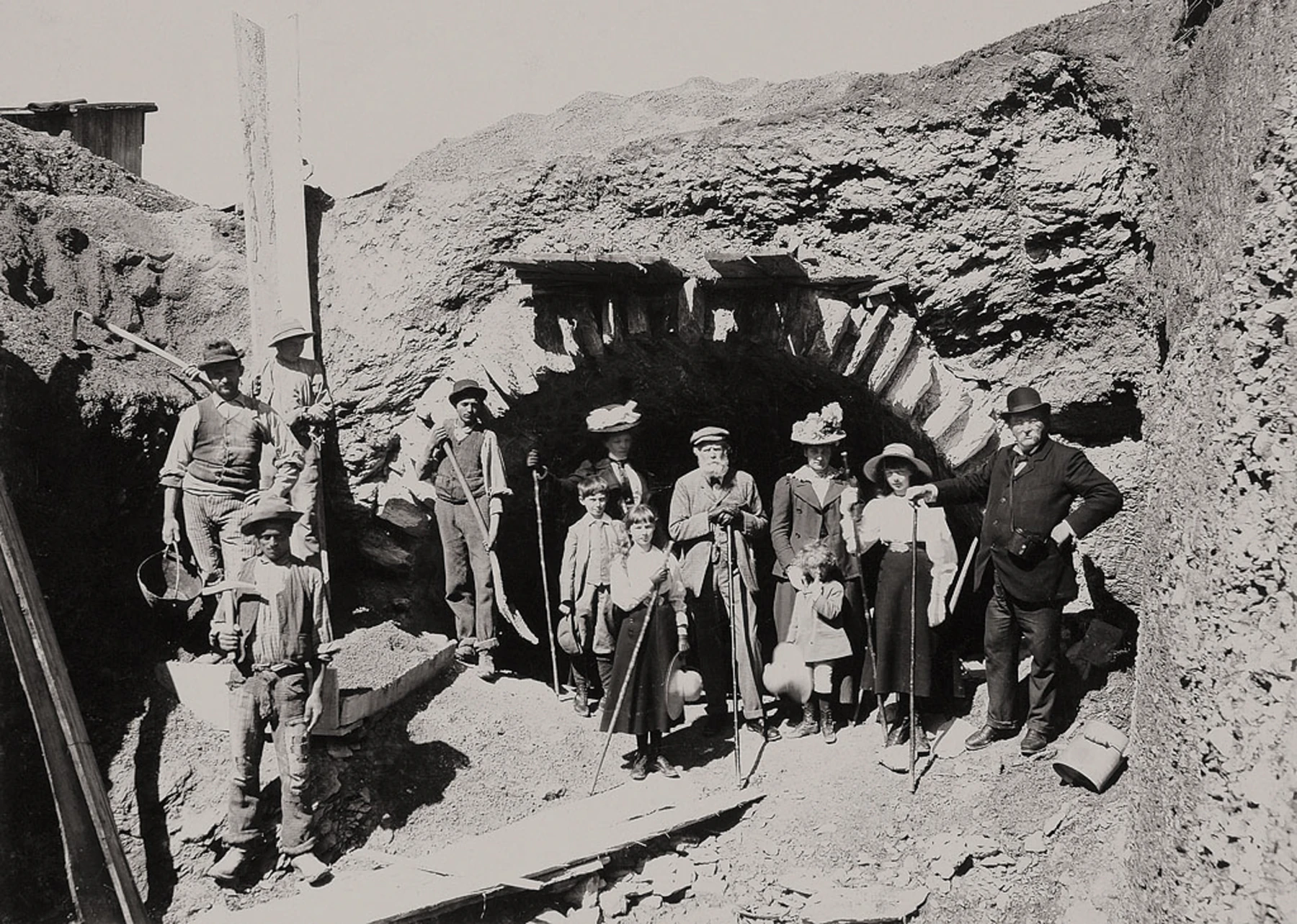
Workers at a railway excavation portal
Workers at a railway excavation portalJungfrau Railway construction archive; exact photograph date not stated
Jungfrau Railways historical archive · Native master: 5,000 × 3,564 px
Regional case study outside Interlaken municipality; construction campaign 1896–1912. Date of this individual photograph remains unconfirmed.
Source and attribution ↗
Railway workers at a rock excavation
Railway workers at a rock excavationJungfrau Railway construction archive; exact photograph date not stated
Jungfrau Railways historical archive · Native master: 5,000 × 3,564 px
Regional case study outside Interlaken municipality; construction campaign 1896–1912. Date of this individual photograph remains unconfirmed.
Source and attribution ↗
Historic rock-drilling operation
Historic rock-drilling operationJungfrau Railway construction archive; exact photograph date not stated
Jungfrau Railways historical archive · Native master: 5,000 × 3,564 px
Regional case study outside Interlaken municipality; construction campaign 1896–1912. Date of this individual photograph remains unconfirmed.
Source and attribution ↗
Work inside the railway tunnel
Work inside the railway tunnelJungfrau Railway construction archive; exact photograph date not stated
Jungfrau Railways historical archive · Native master: 5,000 × 3,564 px
Regional case study outside Interlaken municipality; construction campaign 1896–1912. Date of this individual photograph remains unconfirmed.
Source and attribution ↗
Workers on the mountain excavation site
Workers on the mountain excavation siteJungfrau Railway construction archive; exact photograph date not stated
Jungfrau Railways historical archive · Native master: 5,000 × 3,564 px
Regional case study outside Interlaken municipality; construction campaign 1896–1912. Date of this individual photograph remains unconfirmed.
Source and attribution ↗
Historic construction workforce in the tunnel
Historic construction workforce in the tunnelJungfrau Railway construction archive; exact photograph date not stated
Jungfrau Railways historical archive · Native master: 5,000 × 3,564 px
Regional case study outside Interlaken municipality; construction campaign 1896–1912. Date of this individual photograph remains unconfirmed.
Source and attribution ↗

Research sources

  1. Canton of Bern: Bödeli Aare rehabilitation concept
  2. Jungfrau Railways: Harderbahn history and specifications
  3. Jungfrau Railways: railway construction history
  4. Swiss National Library: railway construction archive
Construction diagram